End Mountaintop Removal Coal Mining

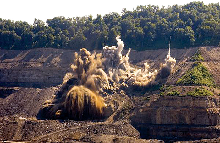
Photo of mountaintop removal mining by Kent Mason
Since the 1970s, the coal industry has blown up more than 500 of the oldest, most biologically rich mountains in America and destroyed more than 2,000 miles of headwater streams. Despite an ongoing citizen movement to end the destruction, and despite the decline in coal, it’s still happening.
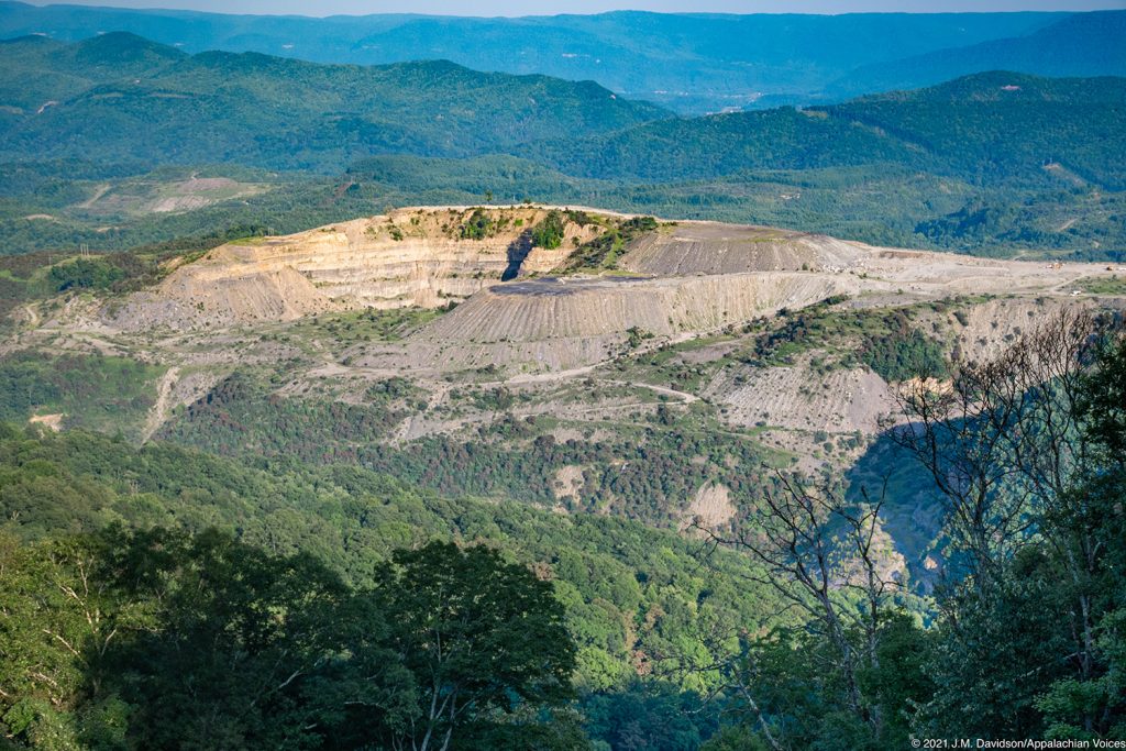
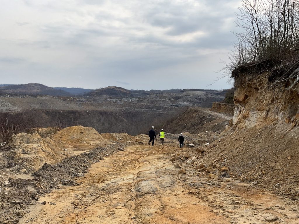
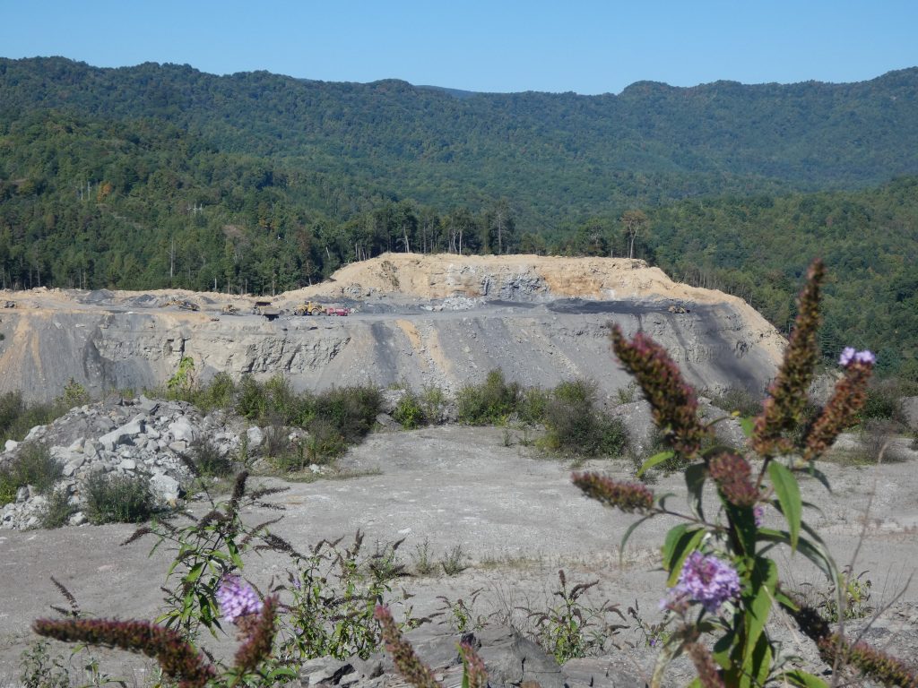
Mountaintop removal coal mining is a destructive form of extracting coal in which companies use heavy explosives to blast off hundreds of feet from an ancient mountain ridge to access thin seams of coal below. The massive amounts of dirt and rubble, what the coal industry calls “overburden,” is dumped into adjacent valleys, burying headwater streams.
To meet federal reclamation requirements, the mining sites and “valley fills” are often sprayed with non-native grasses, and gravel ditches are built as so-called restored streams. Many sites don’t meet the requirements, and even if they do, these measures do little to prevent toxic contaminants from poisoning the creeks and streams below.
Mountaintop removal has a devastating impact on the region’s economy, ecology and communities. Appalachian Voices is committed to righting these wrongs and protecting the mountains and communities. For more than a decade, we have worked closely with partner groups and citizens in the region, helping establish and guide The Alliance for Appalachia and building a national movement 100,000+ people strong through ILoveMountains.org.
We remain vigilant in our mission to defend the people and natural resources of the Appalachian region, and will raise a hue-and-cry against any regulatory rollbacks.


“I am only one, but I am one. I cannot do everything, but I can do something.”
Edward Hale, 19th century American author
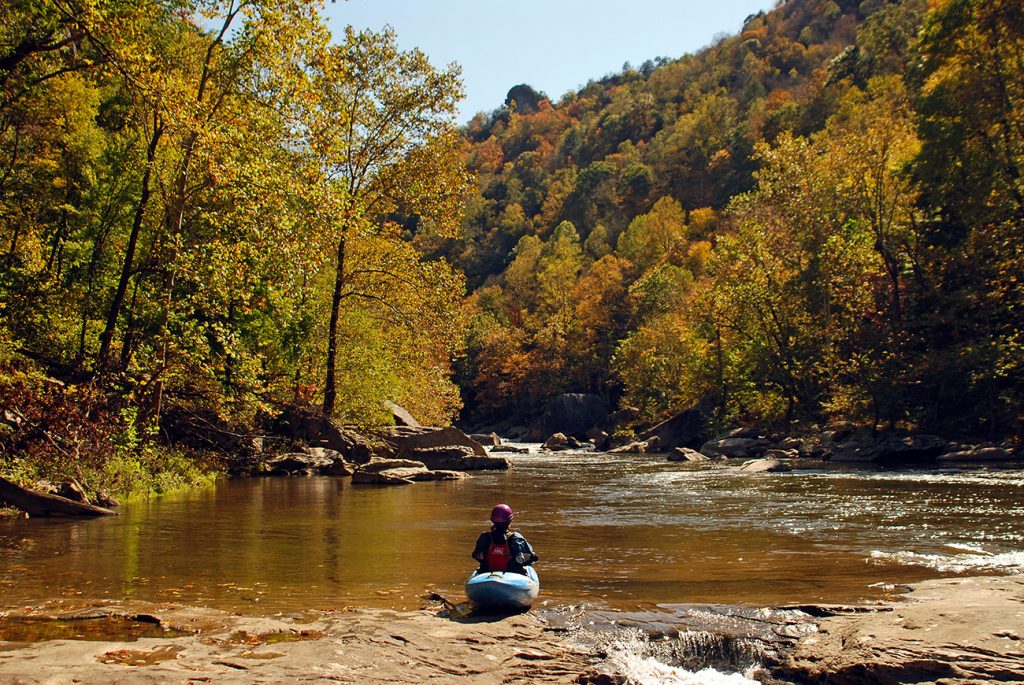
From coal ash pollution to runoff from coal mining, the health of our Appalachia's waterways are threatened.

Latest News

Judge blocks Clean Water Act permit for mountaintop removal mine on Coal River Mountain
Today, a judge in the U.S. District Court for the Southern District of West Virginia ruled in favor of Coal River Mountain Watch, the West Virginia Highlands Conservancy, Appalachian Voices and Sierra Club, blocking the U.S. Army Corps of Engineers’ decision to grant a Clean Water Act permit for valley fills associated with the Turkeyfoot Surface Mine.
Home on the Range … in Appalachia?
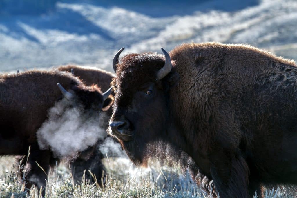
In Letcher County, Kentucky, the Appalachian Rekindling Project, an Indigenous, women-led organization, is seeking to reintroduce bison to the region on 63 acres of a reclaimed mountaintop removal coal mine.
CANCELED: Justice family coal company must explain to regulators why mountaintop removal mining permit should not be revoked
A coal company owned and operated by the family of U.S. Sen. Jim Justice, R-W.Va., will need to explain why its permit for a large mountaintop removal mining operation known as the Poca mine shouldn’t be revoked.
Opposition to Proposed Prison on Mine
Environmental risks and negative social, economic and mental-health impacts to prisoners and communities are among the concerns voiced over a plan to build a prison on top of a former mine.
No time to waste averting another coal mine cleanup crisis
Regulators are ignoring a growing crisis unfolding in modern mine reclamation. Coal companies are often failing to complete timely reclamation, and safeguards to ensure mine cleanup are failing. Communities are already seeing a new, more devastating wave of abandoned mines — a problem that will get worse without action.
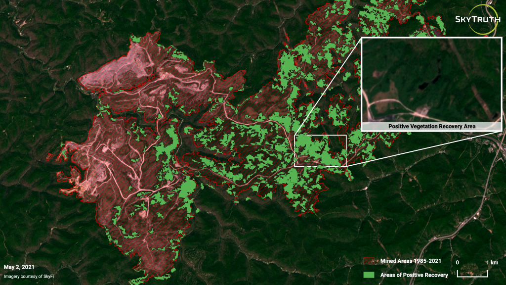
Guest post: New SkyTruth research reveals legacy of mountaintop mining — and the policy implications
Explosives and heavy equipment: the perfect combination for mine owners to extract coal from a pristine Appalachian landscape. Too bad this process, known as mountaintop removal mining, is terrible if you live near the mined mountain, or in a watershed downstream, or on a planet faced with the imminent threat of ever-increasing temperatures brought about by greenhouse-gas emissions.