Contacts:
Matt Wasson, Program Director, 828-262-1500, matt@appvoices.org
Erin Savage, Central Appalachian Campaign Coordinator, 828-262-1500, erin@appvoices.org
Cat McCue, Communications Director, 434-293-6373, cat@appvoices.org
A new interactive map released today shows that mountaintop removal coal mining has been expanding closer to communities in Central Appalachia in recent years, posing increasing threats to human health and the environment even as coal production in the region has declined dramatically. The mapping tool, developed by the nonprofit organization Appalachian Voices, is the first-ever, time-lapse view of the proximity of mountaintop removal mines to communities.
The organization identified 50 Appalachian communities that are most at risk from destructive mining based on the proximity of mining to those communities and the rate at which mining activity has been increasing. Krypton, Ky., Bishop, W.Va., and Roaring Fork, Va. are the top three communities at risk, while the top three counties with the highest number of communities at risk are Pike County, Ky. (seven), Wise County, Va. (six), and Boone County, W.Va. (five).
>> View the interactive map
>> Download the white paper, with tables and methodology
Based on the map, and working with impacted citizens in the coal-bearing region, Appalachian Voices can now identify mining “hot spots” and access on-demand, up-to-date, high-resolution satellite images through a unique partnership with Google Inc.’s Skybox For Good initiative.
The “Communities At Risk” web feature is part of the organization’s ongoing campaign urging President Obama to end mountaintop removal mining before he leaves office. “Contrary to what the coal industry and its allies in Congress claim, federal action to end this atrocity is not a ‘war on coal,’ but rather is at the heart of securing the region’s future,” says Erin Savage, Appalachian Voices Central Appalachian Campaign Coordinator.
Other key findings include:
- Communities where mountaintop removal mine encroachment is increasing suffer higher rates of poverty and are losing population more than twice as fast as nearby rural communities with no mining in the immediate vicinity;
- Southwest Virginia had a disproportionate concentration of at-risk communities on the list (20%), but accounted for only 8% of Central Appalachia’s surface mine coal production in 2014; and
- West Virginia, where 60% of all Central Appalachian surface mine coal production occurred in 11 counties in 2014, accounted for nearly half of the 50 at-risk communities.
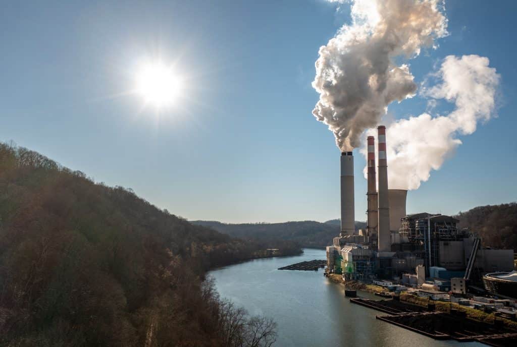
Appalachian Voices developed the map and identified the 50 communities most at risk using Google Earth Engine, U.S. Geological Survey data, publicly available satellite imagery, mining permit databases, and mapping data and consultation from Skytruth. Much of the expanding surface mining is for metallurgical coal used to make steel, as opposed to thermal coal used in power plants. Metallurgical coal is usually exported overseas, says Matt Wasson, Appalachian Voices Program Director who developed the methodology for the web tool.
“The human suffering and environmental destruction from mountaintop removal mining won’t just disappear as America’s aging power plants retire,” he says. “It’s incumbent on the Obama administration to help revive this region that has powered the nation’s economic ascendancy for generations, starting with ending mountaintop removal mining.”
For the campaign launch, Appalachian Voices focused on one of the 50 communities—Inman, Va., which ranks #22 on the list. The 3,000-acre Looney Ridge mountaintop removal mine has loomed over Inman for more than a decade. The area’s population has declined 9% from 1990 to 2010, while surrounding Wise County grew by 2.4%, and the state grew 14.7%. The poverty rate in the Inman area jumped from 17.3% in 2000 to almost 28% in 2013.
“Strip mining was controversial in the ‘70s here, but it was in no way as destructive as taking the entire top off of mountains,” says Ben Hooper, a long-time resident of Inman. “There’s no way you can take the entire top off the mountain and not destroy a lot of things. There was safe water to drink at one point off one of the mountains—but there’s no safe water now.”
>> Watch the video with Ben Hooper; contact Cat McCue to arrange an interview with him.
The mapping tool was developed by Appalachian Voices for iLoveMountains.org on behalf of The Alliance for Appalachia.
###
Appalachian Voices is an award-winning nonprofit organization that is cultivating a citizen movement across Virginia, West Virginia, North Carolina, Tennessee and Kentucky to shift our region from harmful, polluting energy practices — like mountaintop removal coal mining and fracking — to cleaner, more just and sustainable energy sources. Through community organizing, innovative communications tools and advocacy at the highest levels of power, we bring people together to protect our beloved mountains and rivers, our forests and farmland and our children’s future. Join the movement today at AppalachianVoices.org.
Related Articles
More Stories