

New Study Maps Increase in Land Disturbed by Coal Mining
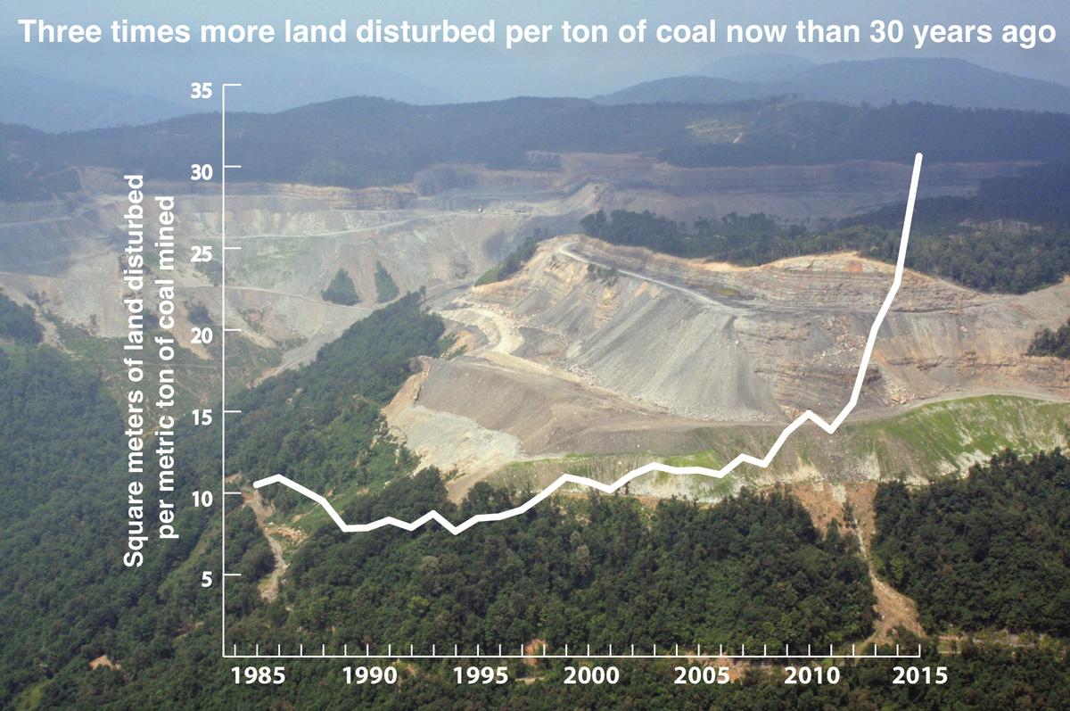 In a peer-reviewed study published on July 25 in PLOS ONE, researchers from SkyTruth, Duke University, and Appalachian Voices released the first-ever maps of the year-by-year footprint of surface coal mining in Central Appalachia. The study, coupled with an earlier dataset, revealed that surface mining, including mountaintop mining, has been responsible for clearing 5,900 km2 (approximately 1.5 million acres) of land between 1976 and 2015 — equivalent to one out of every 14 acres in Central Appalachia. This total area is roughly three times that of the Great Smoky Mountains National Park.
In addition, the study found a drastic increase in the ratio of land cleared to tonnage of coal produced over the last three decades. In the 1980s, approximately 10 square meters of land were disturbed per metric ton (2,200 pounds) of coal produced. By 2015, approximately 30 square meters were disturbed to produce the same amount of coal — a threefold increase. The study noted that these findings are consistent with the depletion of coal reserves in Central Appalachia.
“The thickest, easiest-to-access coal seams in Central Appalachia have largely been mined out,” noted Matt Wasson, Appalachian Voices director of programs, “so every new mine is mining thinner seams and having to blow up more mountain to get to them.”
The research team utilized the cloud-based Google Earth Engine to analyze and process more than 10,000 individual satellite images. Their model identified areas that lacked forest cover in contrast to surrounding forested areas on a yearly basis. After excluding known roads, bodies of water and cities, the team labeled any remaining deforested areas as likely surface mines, validated by manually spot-checking the results against aerial survey photography and other imagery. The semi-automated nature of the analysis allows the dataset to be updated annually. Visit appvoices.org/new-map to learn more and view an interactive map.
Related Articles
Latest News
More Stories
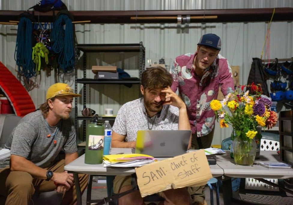
Neighbors Help Neighbors
A photo essay that celebrates the volunteer spirit of the grassroots group Hurricane Helene WNC and speaks to the resourcefulness, collaboration and hard work embodied by thousands and thousands of volunteers, first responders and aid workers across the region after Hurricane Helene.

Halloween Approaches, and Night School Is in Session
The House of Art in Bluefield, West Virginia, looks like a haunted tower, making it the perfect location for its sixth annual haunt event: Night School. The Night School will be open every Friday and Saturday night through Oct. 31.
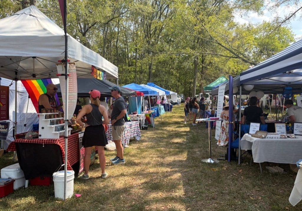
‘The Most Perfect Act of Love’
Hundreds of people attended the second annual Affirming Sumner Pride celebration on a 24-acre farm dubbed “Fruity Farm” in Bethpage, Sumner County, Tennessee.

Signs of Life: Endangered Bats Found in Nantahala for First Time in More Than a Decade
In the Nantahala National Forest, a team of biologists spotted Indiana bats, an endangered species that hasn’t been seen in North Carolina for the last 11 years.

‘First Line of Defense’
During Hurricane Helene and its aftermath, rural fire departments and other first responder hubs played critical roles in keeping their communities safe, even without power and cut off from outside support for days or weeks after the storm. Two years later, plenty of work remains to ensure these hubs have the resources they need to operate day to day and be ready when emergencies or natural disasters strike.
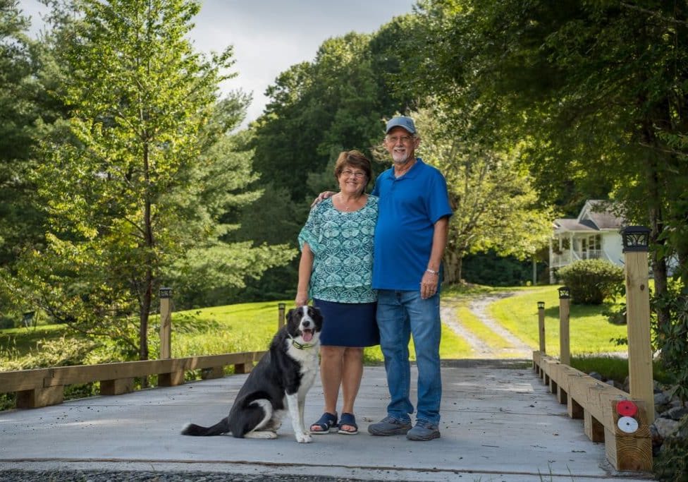
The Rocky Road — and Bridge — to Recovery
Hurricane Helene is estimated to have damaged nearly 7,000 private roads and bridges in Western North Carolina. Two years later, many restoration projects are complete, but the journey hasn’t been easy — and isn’t over for others.

Leave a comment
Your email address will not be published. Required fields are marked *
Leave a Comment