Posts Tagged ‘Hidden Treasures’
Paddling Treasures
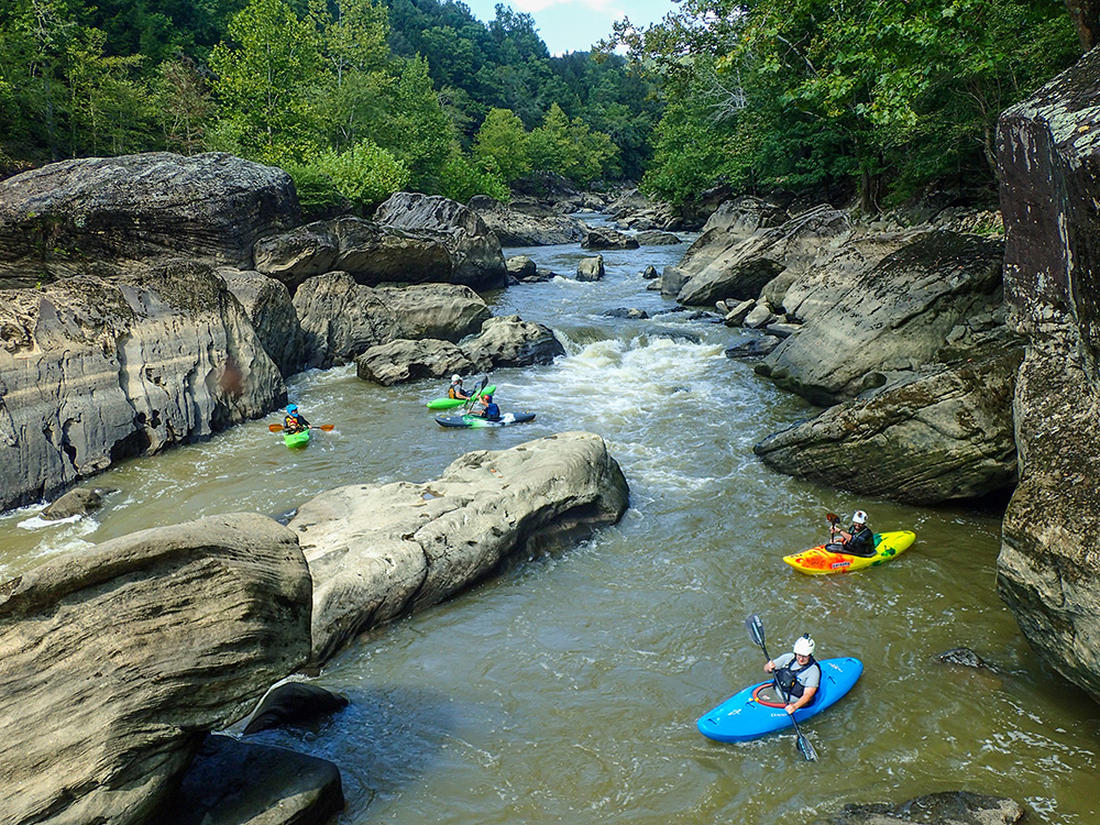
A guide to some of the region’s best boating spots.
Read MoreHidden Treasures: Public Forests
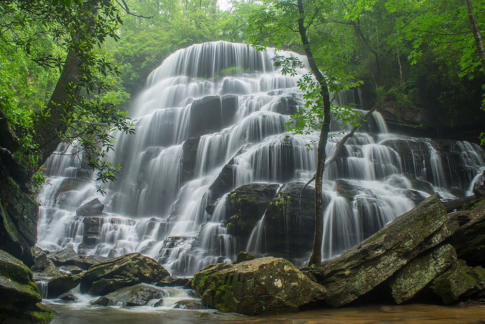
Here, we outline a multitude of gorgeous spots off the beaten path in our national forests.
Read MoreHidden Treasures #6: Georgia
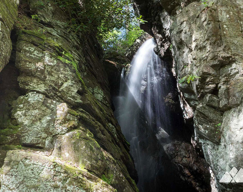
Raven Cliff Falls in Chattahoochee National Forest.
Read MoreHistorical Hidden Treasures of North Carolina
By Rachel Ellen Simon Junaluska Memorial Site, Museum, and Medicine Trail Cherokee warrior Junaluska was among the thousands of Native Americans that were forcibly relocated via the Trail of Tears in the 1830s. Unlike most, however, Junaluska was eventually able to return to his former home in North Carolina, where he died in 1868. Near…
Read MoreHistorical Hidden Treasures of Virginia
By Rachel Ellen Simon Hidden Treasures RELATED STORIES North Carolina Virginia Tennessee West Virginia Kentucky Pocahontas Exhibition Coal Mine Most may know it as the title of a lullaby, but “Baby Mine” is also the name of the first mine to open in the Pocahontas coalfield in 1883. During the mine’s 73 years of operation,…
Read MoreHistorical Hidden Treasures of Tennessee
By Rachel Ellen Simon Lost Sea / Craighead Caverns Sweetwater, Tennessee is home to the largest underground lake in America. Spanning over 4.5 acres, the Lost Sea lies hundreds of feet beneath a mountain within the Craighead Caverns cave system. Exploration has uncovered Pleistocene-era jaguar tracks, Cherokee artifacts and graffiti from Confederate soldiers who were…
Read MoreHistorical Hidden Treasures of West Virginia
By Rachel Ellen Simon Grave Creek Mound Archaeological Complex Well before humans began tearing down hills in West Virginia, they were building them — in miniature. Over 3,000 years ago, the area was home to the Adena, a society of Mound Builders that settled throughout the eastern United States. The Adena left behind massive burial…
Read MoreHistorical Hidden Treasures of Kentucky
By Rachel Ellen Simon U.S. 23 Country Music Highway Museum In the mid-20th century, an eastern Kentucky saying put a new spin on the “three Rs” – “readin’, writin’, and Route 23.” With the post-war decline of coal, millions of Appalachians sought work in cities north along U.S. Hwy. 23. This “Hillbilly Highway” also connected…
Read MoreHidden Treasures #3 – Ohio
Welcome to the third installment of our exploration of some of the most beautiful, off-the-beaten-path places in the Central and Southern Appalachian Mountains. In this issue, we hand picked some water-related hot spots perfect for late summer days: hikes, waterfalls, swimming holes and everything in between — areas that are perfect for dipping your toes,…
Read MoreHidden Treasures #3 – North Carolina
Welcome to the third installment of our exploration of some of the most beautiful, off-the-beaten-path places in the Central and Southern Appalachian Mountains. In this issue, we hand picked some water-related hot spots perfect for late summer days: hikes, waterfalls, swimming holes and everything in between — areas that are perfect for dipping your toes,…
Read More