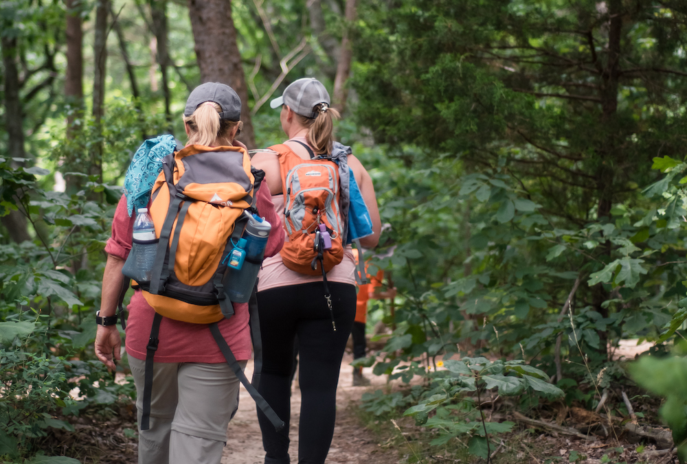
Hiking the Highlands
On the Trail of Songbirds in Appalachia
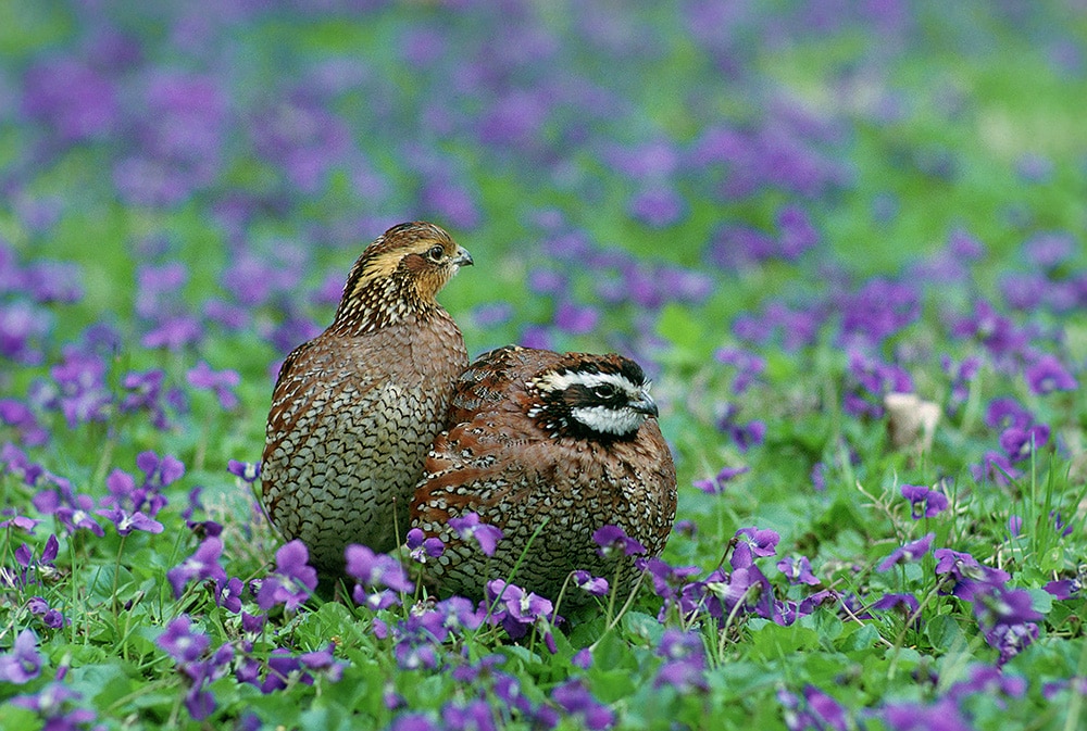
From dense forests to fields to high elevations, Appalachia offers many opportunities to see many beautiful birds on hikes throughout the region.
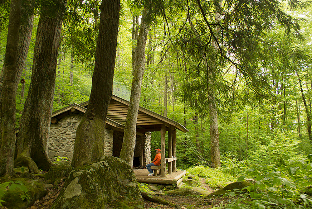
Read MoreProtected Paths: Trails Through Public Lands

This series features lesser-known trails in Appalachia’s public lands. They show the beauty and significance of hiking on public lands.
Read MoreUPDATE: Pedestrian bridge opens for McAfee Knob trail crossing
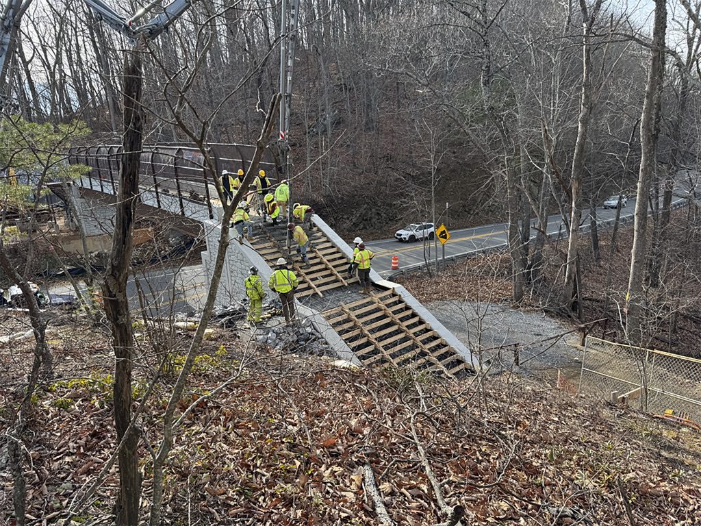
Soon, Appalachian Trail hikers will be able to use a 90-foot-long, steel and concrete pedestrian bridge to move safely over Virginia 311 at McAfee Knob trail crossing.
Read MoreViews and Brews
There’s nothing better than some time on the trail followed by a smooth cup of java or something with a little kick. Enjoy this carefully crafted list of the perfect pairings.
Read MoreHow Max Patch Bald is Finally Healing
After overuse forced the closure of Max Patch Bald, efforts by the U.S. Forestry Service and trail groups to restore the area show dramatic progress.
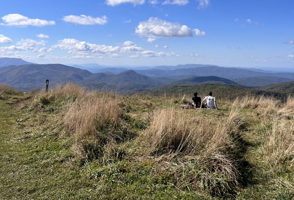
Read MoreSpecial Sections Along the Appalachian Trail
We asked folks which sections of the Appalachian Trail are their favorites, and here’s what we found!
Read MoreConservation Crew Builds Trails in Dante, Virginia
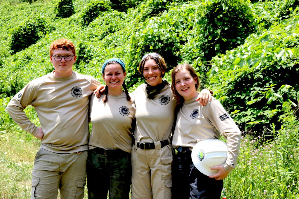
Conservation crew members spent 10 weeks creating trails in Southwest Virginia.
Read MoreFive Trails in Appalachia Designated National Recreation Trails
In June, the U.S. Department of the Interior celebrated National Trails Day by designating 10 trails as National Recreation Trails, including five in Appalachia.
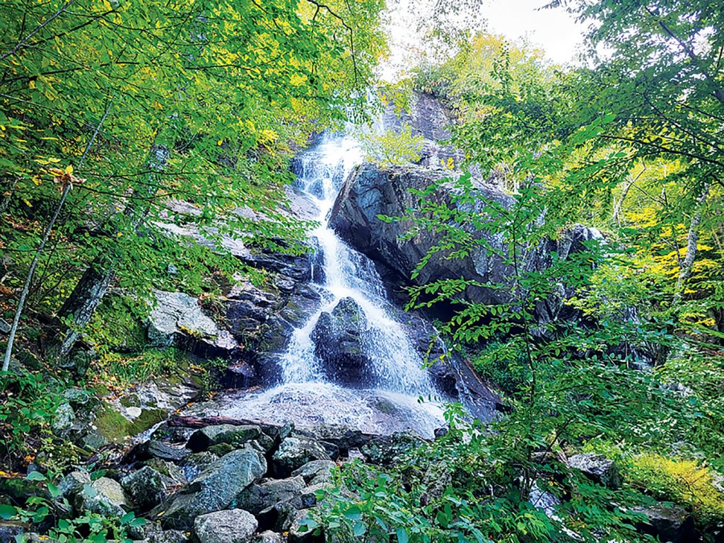
Read MorePristine Waters At Bottom Creek Gorge
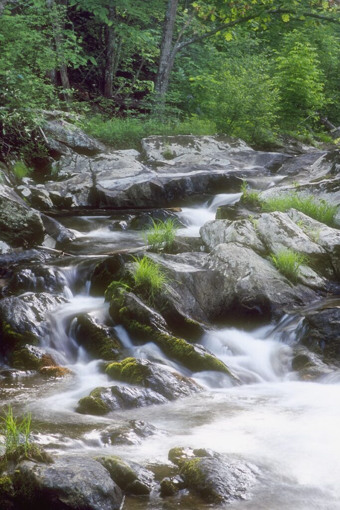
The Bottom Creek Gorge Preserve in Montgomery County, Va., contains more than 5 miles of trails and the second-highest waterfall in the state.
Read MoreWest Rim Loop Trail
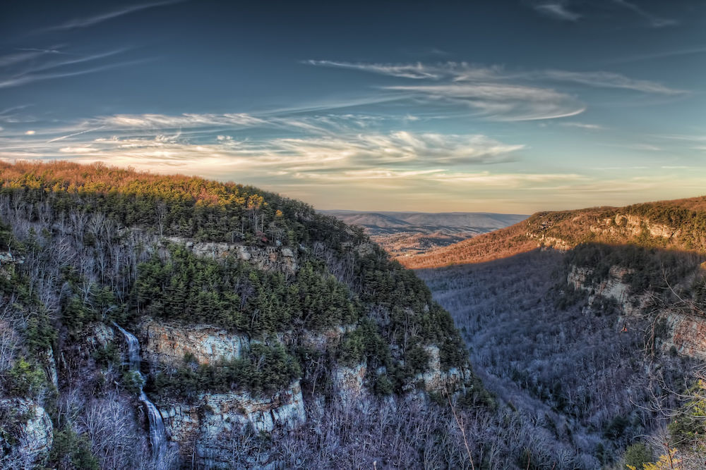
A hike through Cloudland Canyon State Park reveals spectacular views of the southern Blue Ridge Mountains.
Read More